

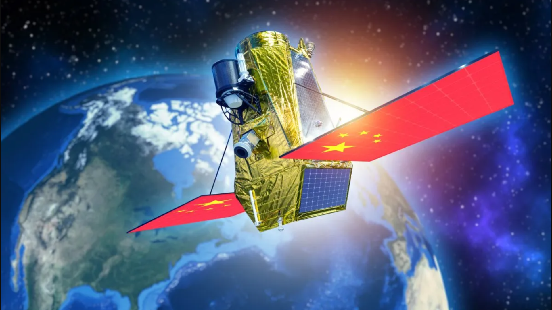
China has announced a significant advancement in its space-based surveillance capabilities, successfully demonstrating a geosynchronous orbit (GEO) radar satellite’s ability to continuously track a moving maritime target. This achievement represents a major technical milestone and carries profound implications for global naval strategy, particularly concerning the strategic competition in the Indo-Pacific region.
The groundbreaking demonstration involved a Chinese satellite locking onto the Towa Maru, a 340-meter Japanese tanker, as it navigated challenging sea conditions near the disputed Spratly Islands. The satellite performed this unprecedented tracking feat from an altitude of approximately 35,800 kilometers (22,245 miles) above Earth. This successful test, publicly acknowledged by China, suggests a potential paradigm shift in maritime reconnaissance, offering Beijing a persistent, all-weather, and all-light surveillance capability that could provide continuous monitoring of foreign naval assets across vast oceanic expanses.
The Technological Leap: Geosynchronous Radar vs. Low Earth Orbit
The core of this breakthrough lies in the deployment and operational success of a geosynchronous radar platform. Unlike the more common Low Earth Orbit (LEO) satellites, which typically circle the Earth at altitudes between 160 and 2,000 kilometers and provide only intermittent coverage over specific locations for mere minutes at a time, a GEO satellite remains fixed relative to a point on the Earth’s surface. This unique orbital characteristic allows for an uninterrupted "staring" capability, providing continuous surveillance of a designated area.
The challenges of operating radar from GEO are immense. At such extreme distances, radar signals weaken significantly, and returning echoes are faint. Furthermore, distinguishing a vessel from "sea clutter"—the radar reflections from waves and ocean surface turbulence—is incredibly difficult, especially in rough seas. Lead researcher Hu Yuxin highlighted that the new processing architecture developed by the Chinese team was instrumental in isolating these weak ship echoes from violent sea clutter, a feat previously considered physically impractical due to the vast distances involved and the inherent noise. This suggests advanced signal processing techniques, potentially leveraging artificial intelligence and machine learning, to filter out interference and enhance target detection.
The implications of this persistent observation capability are stark. While LEO synthetic aperture radar (SAR) satellites can offer higher resolution images, their fly-over times are limited, creating "gaps" in coverage that naval forces have historically exploited for concealment. A GEO radar, by contrast, eliminates these gaps, providing a constant watch regardless of cloud cover, darkness, or adverse weather conditions that would obscure optical sensors.
Achieving Global Coverage with Minimal Assets
One of the most striking claims associated with this technology is the assertion that just three such geosynchronous satellites, strategically positioned, could provide global, 24/7, all-weather reconnaissance coverage of high-value targets. To achieve comparable continuous global coverage using conventional LEO systems, other nations might need to deploy hundreds or even thousands of satellites. This drastically reduces the complexity and cost of establishing a global surveillance network, offering a more resilient and less vulnerable architecture.
For instance, a constellation of three GEO satellites spaced approximately 120 degrees apart in longitude could theoretically cover most of the Earth’s surface, excluding extreme polar regions, with continuous line-of-sight. This contrasts sharply with the thousands of LEO satellites required for constellations like Starlink, though their primary purpose is broadband internet, not persistent radar reconnaissance. Even dedicated LEO intelligence constellations would necessitate a far greater number of platforms to ensure frequent revisits over critical areas. The reduced number of assets in orbit also makes the network inherently harder to disrupt or neutralize during a conflict, as there are fewer targets for anti-satellite (ASAT) weapons.
Strategic Implications for the Indo-Pacific and US Naval Power
The successful demonstration holds particular significance for the Indo-Pacific region, a key flashpoint in global geopolitics. American carrier strike groups, which form the backbone of US naval power projection, frequently operate in areas like the South China Sea and near Taiwan. These regions are central to China’s strategic interests and territorial claims.
Historically, the US Navy has relied on a combination of factors—vast ocean distances, unpredictable weather patterns, and the inherent gaps in LEO reconnaissance satellite coverage—to conceal operational movements and maintain strategic surprise. The advent of persistent GEO radar surveillance fundamentally challenges these long-standing tenets of naval warfare. Should China fully operationalize this capability, American carrier strike groups approaching Taiwan or traversing the South China Sea could be detected, tracked, and potentially targeted far earlier and more continuously than previously assumed. This dramatically shrinks the "warning times" available to US naval commanders, forcing a re-evaluation of operational doctrines and deployment strategies.
The South China Sea, in particular, is a heavily contested waterway. China claims sovereignty over vast portions of the sea, including the Spratly Islands, and has militarized several features there. Continuous surveillance of naval movements in this area would significantly bolster China’s "anti-access/area denial" (A2/AD) capabilities, making it more difficult for external powers, particularly the United States, to operate freely within what China considers its sphere of influence.
China’s Evolving Space and Defense Capabilities
This satellite achievement underscores China’s rapid and sustained investment in its space program and defense modernization. Over the past two decades, China has emerged as a formidable space power, launching an increasing number of satellites for communication, navigation (with its Beidou system rivaling GPS), earth observation, and scientific research. Its military space program, in particular, has seen significant growth, focusing on capabilities that enhance intelligence, surveillance, and reconnaissance (ISR) and support its People’s Liberation Army (PLA) operations.
The integration of this GEO radar capability into China’s broader surveillance and targeting network would be a game-changer. Beijing is already developing and deploying a range of sophisticated platforms, including:
- Over-the-Horizon (OTH) Radars: These ground-based systems can detect targets far beyond the visual horizon by bouncing signals off the ionosphere, complementing satellite coverage.
- Underwater Sensors: A growing network of hydrophones and other sensors deployed on the seabed, particularly in the South China Sea, can detect and track submarines and surface vessels.
- Drones: Both aerial and maritime drones are being developed for local and regional reconnaissance, providing tactical-level intelligence.
- Long-Range Anti-Ship Missiles: Weapons like the DF-21D "carrier killer" and DF-26 "Guam Killer" ballistic missiles, combined with precise targeting data from advanced ISR platforms, pose a credible threat to large surface combatants.
By fusing data from these diverse sources with continuous GEO radar feeds, China could create an unparalleled, multi-layered surveillance picture. This would allow for highly accurate targeting solutions, significantly enhancing the effectiveness of its long-range precision strike capabilities against naval assets.

The Geopolitical Chessboard: US-China Rivalry and the Future of Naval Warfare
For Pentagon planners, the successful demonstration represents more than just a Chinese technical milestone; it signals the possible emergence of a new battlespace where traditional notions of concealment at sea may no longer be viable. The strategic competition between Washington and Beijing is therefore shifting. It is no longer solely about controlling vital sea lanes through naval power; it is increasingly about dominance of orbital infrastructure that determines who gains first visibility and, consequently, who holds the tactical advantage.
This development will undoubtedly accelerate an existing arms race in space and maritime domains. The United States and its allies will need to reassess their counter-surveillance strategies, potentially investing more heavily in stealth technologies, electronic warfare (EW) capabilities to jam or spoof adversary radars, and developing their own resilient space-based ISR assets. The concept of "freedom of navigation operations" (FONOPS) in contested waters might also need to be re-evaluated in light of persistent, high-fidelity tracking.
While no direct official statements from the Pentagon have been released regarding this specific Chinese announcement, military analysts and defense strategists are likely to be assessing the implications with serious concern. The ability to track high-value targets like aircraft carriers continuously would complicate any potential US intervention in a regional conflict, such as one over Taiwan, by removing a significant element of operational secrecy and potentially exposing naval assets to earlier and more sustained targeting.
Technical Challenges and Remaining Hurdles
Despite the undeniable impressiveness of this technological achievement, it is crucial to temper immediate conclusions with an understanding of the inherent challenges and remaining hurdles.
- Signal Travel Distances: The enormous distances involved in GEO radar operations mean that signals suffer significant attenuation. Maintaining sufficient power output from the satellite and achieving adequate signal-to-noise ratio for reliable detection and tracking, especially of smaller or stealthier targets, remains a formidable engineering challenge.
- Resolution and Target Discrimination: While continuous tracking is powerful, the resolution of GEO radar is generally lower than LEO SAR systems due to the greater distance. Distinguishing between different types of military vessels, or even identifying evasive maneuvers, could be more challenging from GEO. The initial demonstration involved a large, non-evasive commercial tanker, which is a less complex target than a fast-moving, stealth-optimized warship employing electronic countermeasures.
- Space Weather and Electronic Countermeasures (ECM): Geosynchronous satellites operate in a harsh space environment, susceptible to solar flares and other space weather phenomena that can disrupt electronics and signal transmission. Furthermore, sophisticated military vessels are equipped with advanced electronic countermeasures designed to jam, spoof, or evade radar detection. The effectiveness of China’s GEO radar against such active defenses remains to be seen.
- Data Processing and Bandwidth: Continuous, high-fidelity radar data generation requires immense processing power on the satellite and significant bandwidth to transmit the data back to Earth. The scale of this data processing and transmission capability for a fully operational global constellation is substantial.
- Operational Timeline: While the technical demonstration is a success, China has not yet deployed the full three-satellite constellation, and the precise timeline for achieving full operational capability remains unclear. Bringing such a complex system to full readiness, including ground infrastructure, data analysis centers, and integration with command and control systems, will take time and further investment.
The Future of Maritime Security
The successful demonstration of geosynchronous radar satellite tracking marks a pivotal moment in the evolution of maritime security and naval reconnaissance. It underscores China’s commitment to advancing its military technological capabilities and its ambition to reshape the strategic balance in key regions. While technical and operational challenges persist, the potential for persistent, all-weather surveillance from GEO represents a significant leap forward, demanding a re-evaluation of naval doctrines and a renewed focus on counter-surveillance and space-based resilience by other global powers. The strategic competition in the 21st century is increasingly being fought not just on land, sea, and air, but in the orbital infrastructure above.


